Deep Mapping & Place-Based Narrative
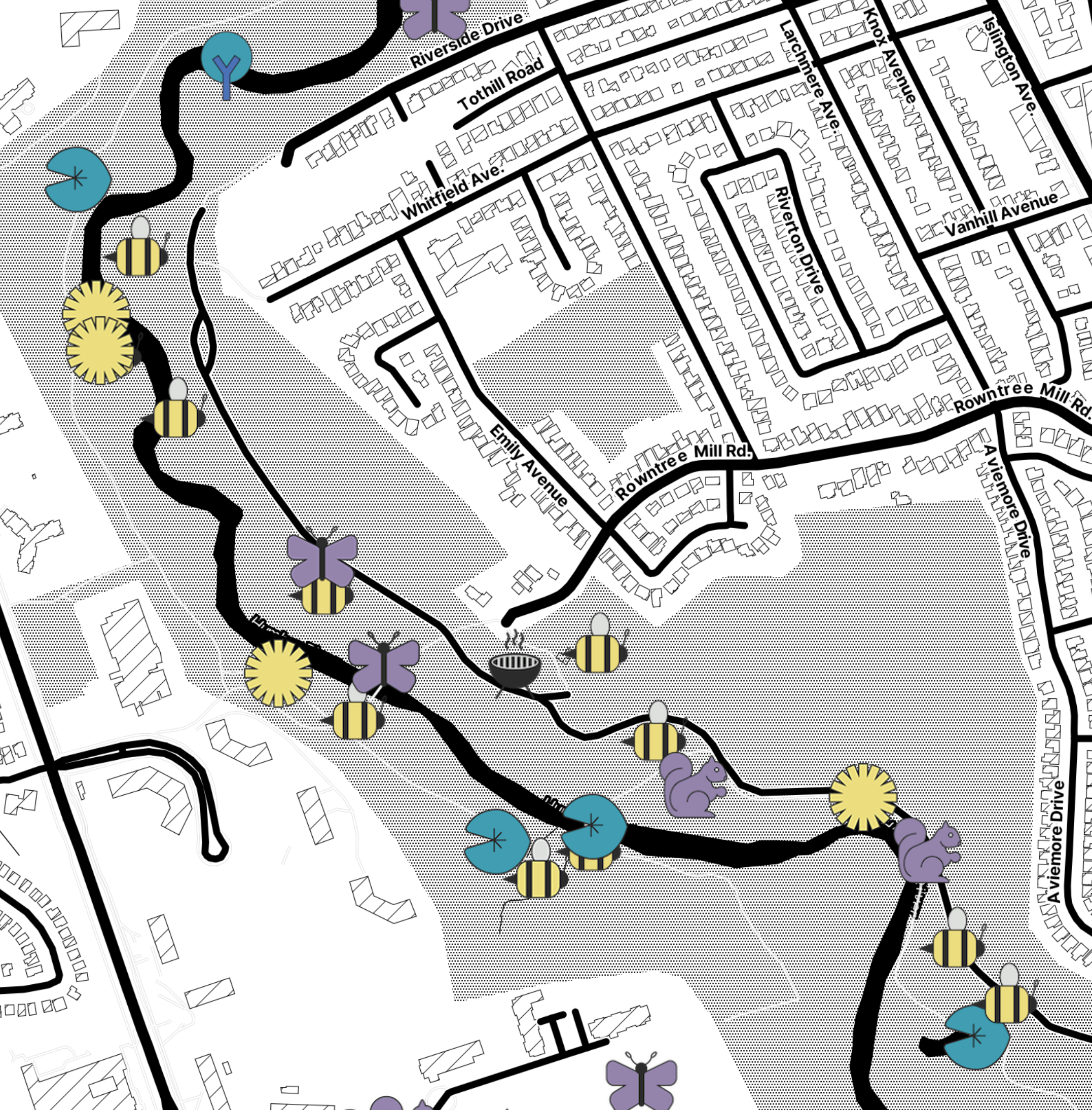
Maps hold
Maps hold
many stories
A custom toolkit for building interactive, place-based narratives — for scholars, communities, and artists telling layered stories about real spaces.